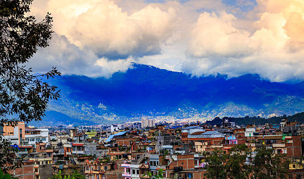
Nepal is currently witnessing the significant influence of multiple weather systems, resulting in widespread rainfall and cloud cover across various provinces. According to the Meteorological Forecasting Division, active monsoon winds combined with westerly disturbances and a low-pressure system formed around West Bengal, India, are shaping the current weather conditions in the country.
The complex interaction of these weather systems has led to varying weather patterns in different regions, with increased chances of rainfall, thunder, lightning, and even snowfall in some high-altitude areas.
Monsoon Winds Dominate the East and Central Provinces
The monsoon winds have shown a strong influence in some parts of Koshi, Madhes, Bagmati, and Gandaki Provinces. These winds are responsible for drawing in moisture from the Bay of Bengal, fueling consistent cloud formation and rainfall in the region.
In particular, the eastern parts of Lumbini Province have also come under the influence of the monsoon currents, bringing rain and overcast skies to several districts. Officials at the Meteorological Forecasting Division stated that, “The active monsoon system is currently prevailing in the central and eastern belts of the country. This will likely result in persistent rainfall and possible localized flooding in vulnerable areas.”

Westerly Winds Impact Western Nepal
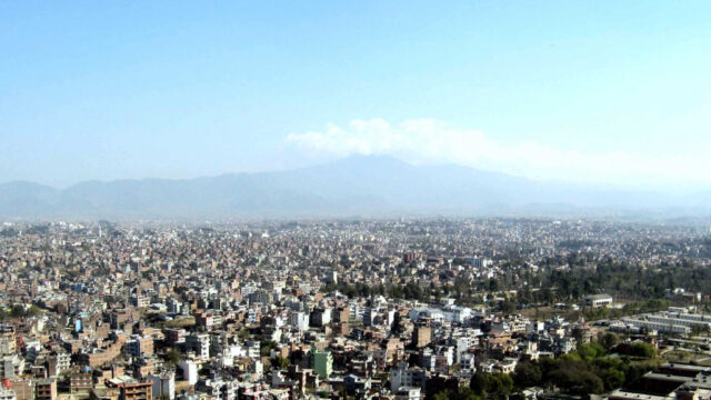
While the eastern and central regions of Nepal are experiencing direct monsoon effects, the western part of the country is under the partial influence of westerly and local winds. These winds, although not as moisture-laden as monsoon currents, still contribute to localized cloud formation and occasional rain showers.
This dual influence, monsoon from the southeast and westerlies from the northwest, has created a transitional weather pattern that keeps most of Nepal under cloud cover with varying degrees of rainfall activity.
Low-Pressure System over West Bengal Intensifies the Situation
Adding to the weather complexity, a low-pressure area that has formed around West Bengal, India, is exerting partial influence over Nepal’s weather, especially in the eastern provinces. This system is known to pull in additional moisture from the Bay of Bengal and intensify rainfall in the downstream areas, including parts of Nepal. According to the Division, this low-pressure condition, though centered in India, is strong enough to amplify rainfall in Koshi and Lumbini provinces, which are geographically close to the region.

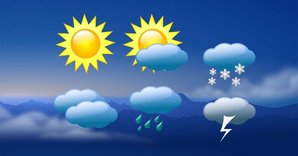
Afternoon Forecast: Cloudy Skies and Widespread Rainfall
For today afternoon, the Division forecasts generally cloudy weather across the country. There is a high possibility of light to moderate rainfall accompanied by thunder and lightning in many areas of Koshi, Bagmati, Gandaki, and Lumbini Provinces. Some locations in other provinces may also experience similar conditions, although to a lesser degree.
More notably, isolated areas in Koshi, Bagmati, Gandaki, and Lumbini Provinces are at risk of heavy to extremely heavy rainfall. This could lead to localized flooding, especially in low-lying areas and places with poor drainage infrastructure. The general public is advised to stay alert and take necessary precautions.
In addition, some high hill and mountainous regions could witness light snowfall, particularly in parts of the Koshi and Gandaki highlands. These snowfalls, although not widespread, serve as early signs of seasonal shifts in the higher altitudes.
Evening and Night Forecast: Continued Cloudiness and Rain
The Meteorological Division reports that the weather is expected to remain generally to fully cloudy throughout the country during the night as well. Light to moderate rain with thunder and lightning is likely to occur in many parts of Koshi, Madhes, Bagmati, Gandaki, and Lumbini Provinces. Other provinces may also experience sporadic rainfall.
Furthermore, heavy rain is predicted in some areas of Koshi, Madhes, Gandaki, and Lumbini Provinces. These rains could be accompanied by strong winds and localized thunderstorms, posing a risk of landslides in hilly and mountainous regions.
Residents of the high hills and mountainous areas of Koshi, Bagmati, and Gandaki, as well as a few spots in other provinces, should also prepare for possible light rain and snow tonight. These weather patterns are common in such regions during transitional monsoon periods and can significantly affect transportation and agriculture.

Advisory for the Public and Travelers
In light of the current forecasts, the Department of Hydrology and Meteorology has issued advisories for the general public and travelers. Those living in flood-prone or landslide-risk areas are urged to remain cautious and stay informed through official weather updates.
Travelers planning to visit high-altitude trekking routes are also advised to be well-prepared for sudden changes in weather, including rain-induced road blockages and snow in higher elevations. The Division has recommended all stakeholders, including local governments, disaster response agencies, and tourism service providers, to remain vigilant and activate contingency plans if necessary.
Looking Ahead
With the monsoon season gradually advancing, meteorologists expect more widespread influence of rain-bearing systems in the coming weeks. The collaborative impact of monsoon winds, local disturbances, and low-pressure areas from neighboring regions is likely to keep the weather pattern active through the remainder of June. As always, the Meteorological Forecasting Division continues to monitor these developments closely and provides regular updates to ensure safety and preparedness for all citizens.