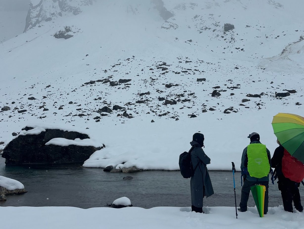
A major step toward strengthening disaster preparedness in the Everest region has been achieved with the successful completion of a site assessment for an Early Warning System (EWS) in Thame and its downstream villages. The assessment was carried out with significant support from the American Himalayan Foundation, in collaboration with the Sagarmatha Pollution Control Committee (SPCC), Khumbu Pasanglhamu Rural Municipality (KPLRM), and the Cryosphere Society of Nepal (CSN).
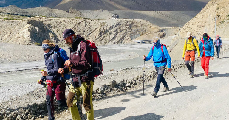
A technical team comprising Pasang Ngima Sherpa, Tenzing Chogyal Sherpa, Uday BC, and Mingma Sherpa conducted the field assessment despite challenging high-altitude conditions, including knee-deep snow and continuous avalanches descending from nearby peaks. The team successfully mapped potential threat zones and identified appropriate safe zones for local communities in Thame and surrounding settlements, an essential milestone for implementing an effective and reliable early warning system against glacial and climatic hazards.

Strong Local Leadership and Institutional Support
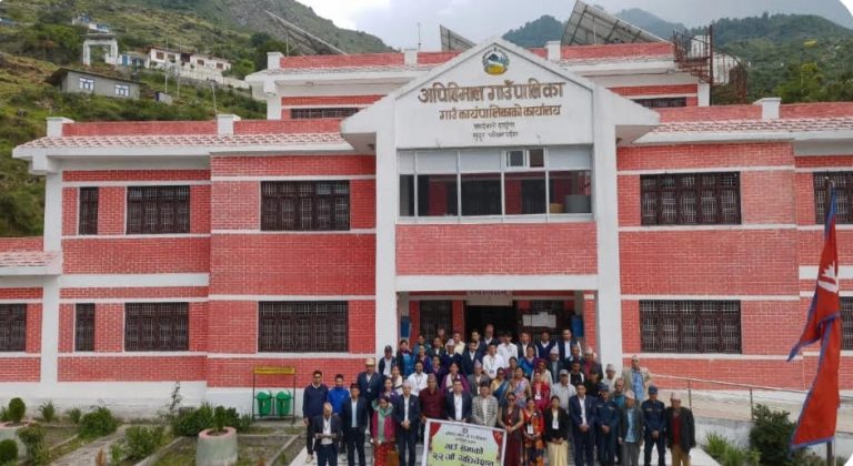
The collaborative effort received immense support from local government and security agencies. The team extended special gratitude to:
- Mingma Sherpa, Chairperson, Khumbu Pasanglhamu Rural Municipality
- Pasang Gyalzen Sherpa, Ward Chairperson, Ward No. 5
- Nuru Jangbu Sherpa, Ward Chairperson, Ward No. 3
- Major Jivan Gurung, Nepal Army
- Officials from Nepal Police, the Rural Municipality office, and other community members
Their continuous assistance and positive engagement were instrumental in ensuring the success of the assessment mission.
Blending Science, Technology, and Indigenous Knowledge
According to the team, the assessment reinforced a powerful lesson: true climate resilience in the Himalayas emerges from the integration of modern science, indigenous knowledge, and strong institutions.
Advanced technologies, such as digital mapping tools, hazard monitoring equipment, and climate-risk assessment methods, were used alongside the traditional knowledge and lived experiences of local Sherpa communities who have navigated these landscapes for generations.
The involvement of indigenous knowledge holders was not only a value-added component but a foundation of the entire initiative, ensuring that the planned early warning system is culturally grounded, geographically accurate, and community-inclusive.
Building Safer Mountain Communities
The Thame region, located upstream of several settlements in the Khumbu Valley, is considered one of the areas most vulnerable to climate-induced hazards, especially glacial lake outburst floods (GLOFs), avalanches, and rapid snowmelt. Establishing a reliable early warning system is therefore critical for safeguarding human lives, heritage sites, and vital trekking routes that support the region’s tourism-based economy.

The successful assessment marks the beginning of the implementation phase, during which technical installations, community training, and emergency preparedness programs will be rolled out in collaboration with local authorities.
With continued cooperation among scientific organizations, local leadership, security forces, and community members, this initiative aims to set a model for climate resilience in high-altitude Himalayan regions, ensuring that vulnerable communities are better protected in the face of intensifying climate risks.