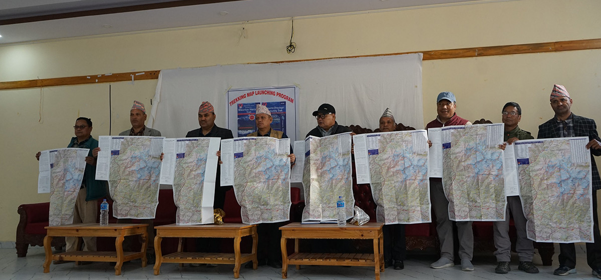
A new map of the Maurice Herzog Trail and Annapurna-Dhaulagiri Community Trek has been developed through community funding in Myagdi, Nepal. The initiative, led by tourism entrepreneurs Chitra Tilija Pun and Lukesh Tilija Pun, was completed without government financial support. The updated map incorporates detailed information about trekking routes, accommodations, and infrastructure to assist trekkers, guides, and tourism professionals.
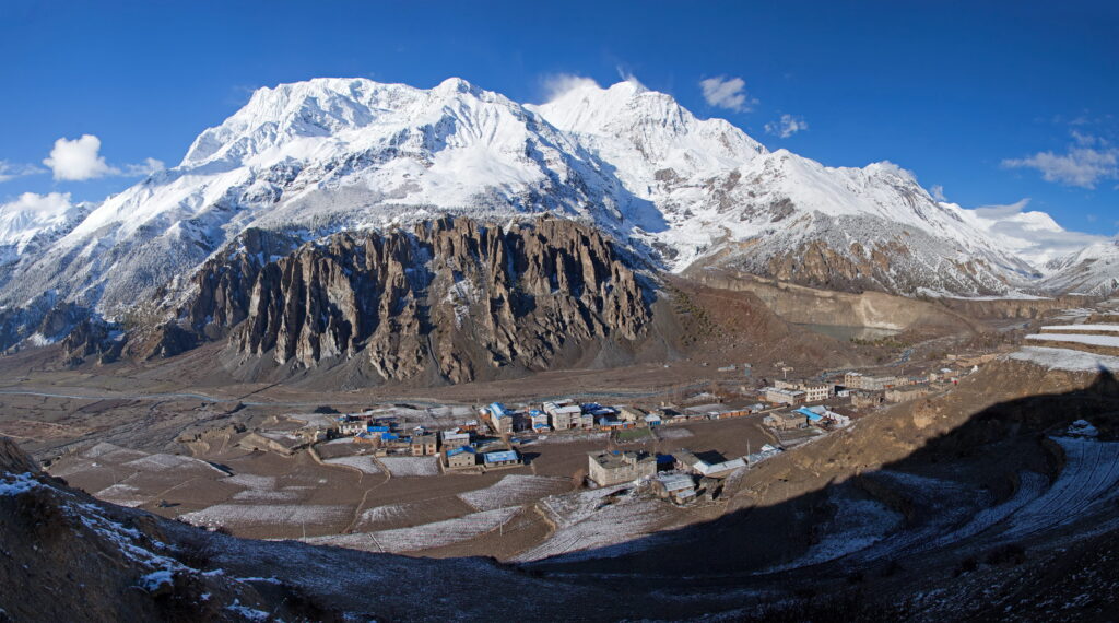
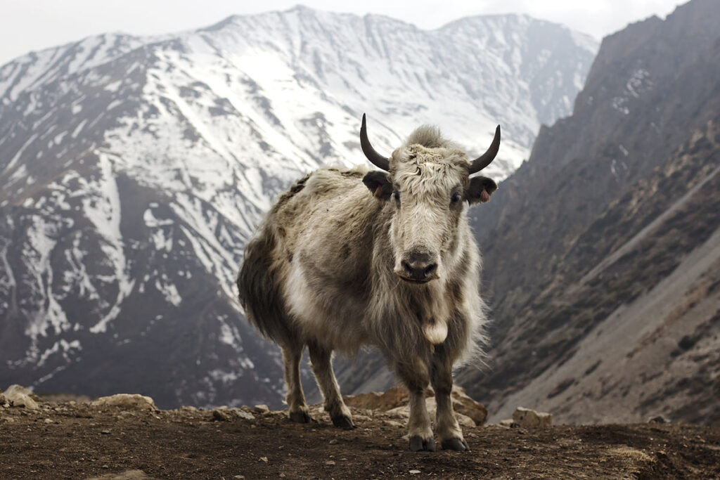
The Maurice Herzog Trail, named after the French mountaineer who became the first to summit Annapurna I in 1950, connects Narchyang to the Annapurna Base Camp. It typically takes 3-5 days to complete. The Annapurna-Dhaulagiri Community Trek, covering key destinations in Myagdi and Parbat, includes places like Mohare Danda, Khopra, and Khayer Baraha Lake, with a trekking duration of 7-10 days.

The updated map was unveiled in Beni by local representatives, including former Constituent Assembly member Govinda Poudel, former MP Bhupendra Bahadur Thapa, Annapurna Rural Municipality chair Bharat Kumar Pun, and ACAP (Annapurna Conservation Area Project) Ghandruk chief Bhim Upadhyaya. According to Chitra Tilija, the previous maps lacked information on newly developed infrastructure and trekking facilities, creating a demand for a more comprehensive version.
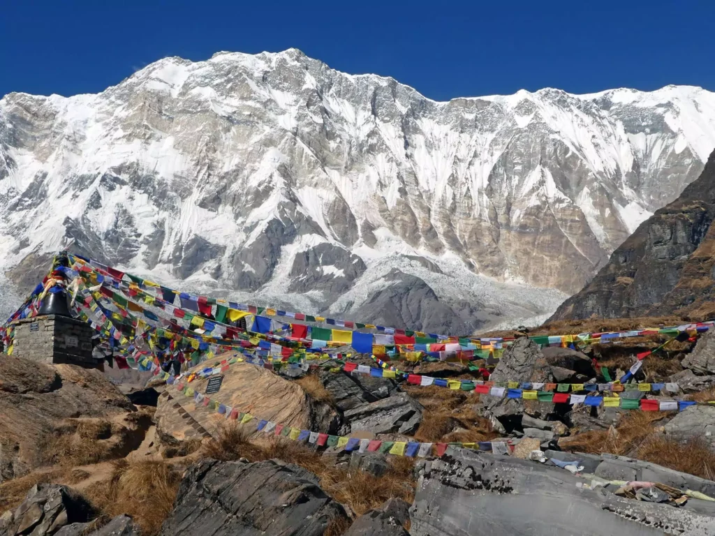
The community raised Rs. 600,000 to cover field visits and data collection, ensuring the new map accurately represents both routes. The Maurice Herzog Trail retraces the path taken by Herzog and his team during their historic ascent of Annapurna. Meanwhile, the Annapurna-Dhaulagiri Community Trek passes through Mallar, Baskharka, and Nangi before reaching high-altitude destinations like Mohare Danda and Khopra Ridge, offering panoramic views of the Annapurna and Dhaulagiri ranges.
Community members, hotel owners, and Nepalese expatriates contributed to funding the project. The self-funded effort highlights the power of local collaboration in promoting sustainable tourism. The newly released map is now available for trekkers, making navigation easier and enhancing the trekking experience in the Annapurna region.