As the monsoon season moves toward its conclusion, the effect of monsoon winds across Nepal is slowly decreasing. However, according to the Department of Hydrology and Meteorology (DHM), Meteorological Forecasting Division, remnants of the monsoon system combined with active western winds are still influencing weather patterns, particularly in the western parts of the country. The division reports that several areas in the Sudurpashchim, Karnali, and Lumbini provinces, along with parts of the western Gandaki Province, continue to experience weather changes driven by these lingering western wind systems.
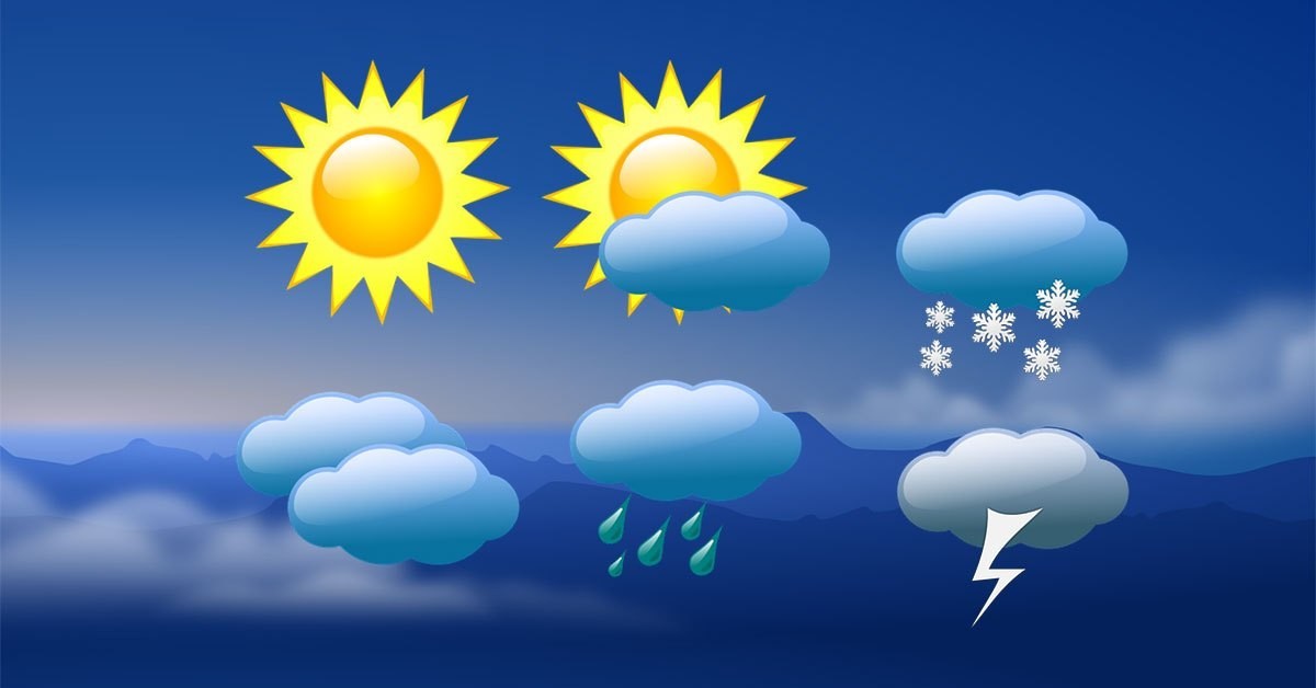
Cloudy Conditions in Western and Hilly Regions
According to the latest weather bulletin released by the Meteorological Forecasting Division, most areas in the Gandaki, Lumbini, Karnali, and Sudurpashchim provinces are expected to remain under cloudy conditions. The forecast highlights that the influence of the weakening monsoon, combined with the westerly flow, is contributing to persistent cloud formation over these regions. Meanwhile, the remaining Tarai areas, particularly in the central and eastern parts of Nepal, are predicted to experience only partially cloudy skies, signaling a gradual transition toward clearer weather.
The department noted that the presence of residual humidity in the atmosphere and active local convection might still lead to occasional cloud buildup, especially in the afternoon and evening hours. These conditions are typical during the tail-end of the monsoon season, when localized rainfall continues despite the overall decline in monsoon activity.

Possibility of Moderate Rainfall with Thunder and Lightning
While monsoon intensity is declining, the DHM has cautioned that moderate rainfall, accompanied by thunder and lightning, remains possible in several regions. According to the bulletin, the hilly and Tarai areas of Gandaki, Lumbini, Karnali, and Sudurpashchim provinces are likely to witness intermittent showers. In addition, a few hilly regions in other provinces, and one or two isolated places in the remaining Tarai areas, may also experience brief rainfall events.
These rainfall patterns are largely attributed to the continuing moisture inflow from the Bay of Bengal and the active western disturbances moving across the Himalayas. The department emphasized that while heavy rainfall is not anticipated in most areas, localized downpours and thunderstorms could occur, particularly during the late afternoon or nighttime. Residents living near rivers and landslide-prone areas in the hills have been urged to stay cautious, as even moderate rainfall can trigger minor landslides or river swelling in vulnerable zones.
Evening and Night Forecast: Cloudy to Partly Cloudy Skies
The Department of Hydrology and Meteorology also issued a specific forecast for nighttime weather conditions. It predicts that by tonight, the Koshi, Lumbini, Karnali, and Sudurpashchim provinces, along with other hilly areas across the country, will witness generally overcast skies. However, the remaining Tarai regions are expected to have partly cloudy conditions, allowing for occasional clear spells.
The department explained that the temperature variation between day and night, coupled with lingering humidity, will likely sustain cloud formation until early morning. This pattern is expected to persist for the next couple of days before skies gradually clear up as the post-monsoon season officially begins.
Potential for Rain in Select Areas Tonight
In its detailed analysis, the DHM stated that there remains a likelihood of moderate rain with thunder and lightning in some hilly areas of Lumbini, Karnali, and Sudurpashchim provinces. Similar weather activity may also occur in the Koshi Province and at one or two locations in other Tarai regions. Although the monsoon is in its weakening phase, these sporadic rain showers are typical for this transitional period when atmospheric moisture still lingers.
The department further mentioned that the western region of Nepal is currently more prone to rainfall than the eastern parts due to the sustained influence of the westerly winds. Meteorologists have clarified that these westerly systems are not as strong as the active monsoon troughs but are sufficient to generate localized convection and short-lived precipitation.
Transition Toward Post-Monsoon Weather
Meteorologists have noted that Nepal is now entering the final phase of the monsoon season. The gradual decline of monsoon winds, coupled with the introduction of dry air masses from the northwest, signals the onset of post-monsoon weather conditions. This transition period typically brings fluctuating weather patterns, with occasional rain in the hills and more stable, drier conditions in the Tarai plains.

The department expects clearer skies and rising daytime temperatures in most parts of the country by mid-October, marking the full withdrawal of the monsoon. Farmers are advised to take advantage of the improving weather for post-harvest activities, while travelers and trekkers heading to high-altitude regions should remain cautious about sudden weather shifts that may still occur.
Department’s Advisory
The Department of Hydrology and Meteorology has urged the public to stay informed through its regular weather updates, especially those residing in hilly and mountainous regions. Even though the overall rainfall has decreased, localized thunderstorms or rainfall accompanied by strong winds may still disrupt travel or outdoor activities.
Authorities have also advised caution for those involved in mountain expeditions, construction, and agriculture in regions where moderate rainfall and lightning remain possible. With the ongoing transition, the department continues to monitor satellite and radar data to issue timely warnings if severe weather activity arises.