A smart information system has been introduced along the Maurice Herzog Trail connecting Myagdi with the Annapurna Base Camp, providing trekkers with comprehensive information through QR codes.
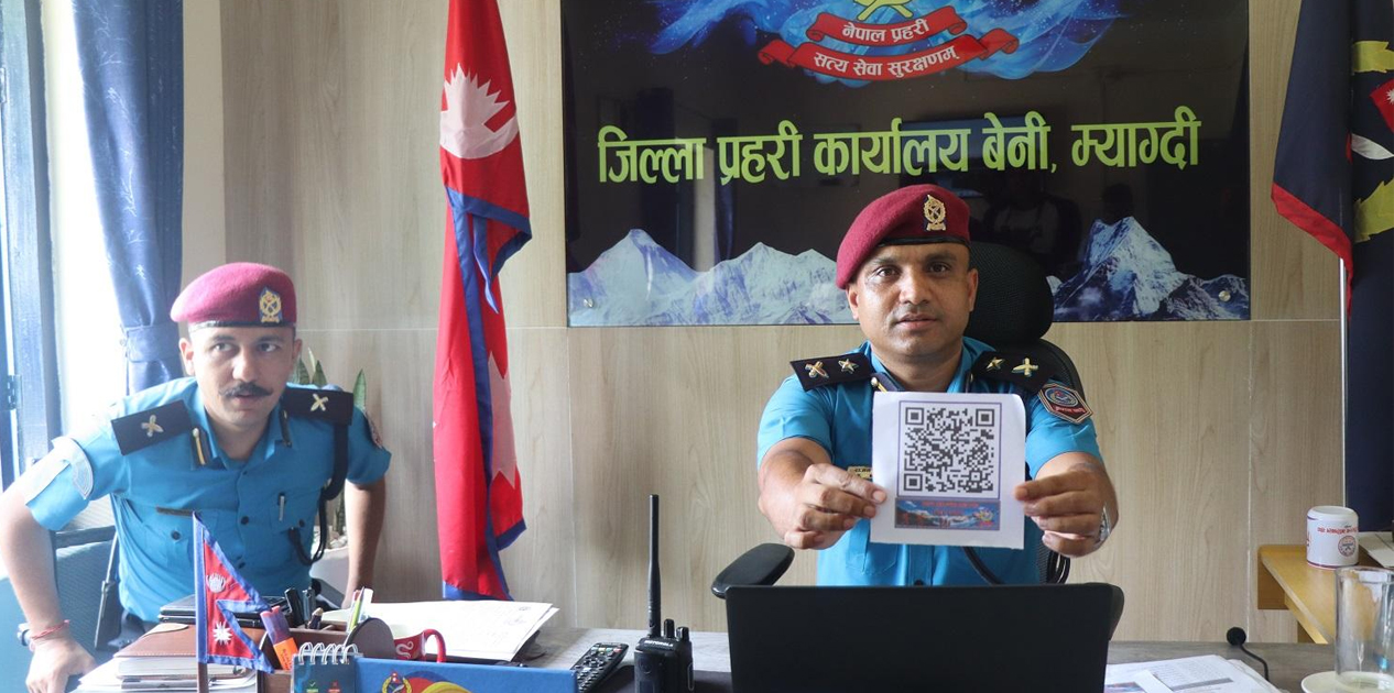
The District Police Office, Myagdi, has developed the system to make information about the emerging tourism destination easily accessible to visitors. By scanning QR codes placed at strategic locations, trekkers can access essential information about the trail directly from their mobile phones without having to make multiple phone calls for assistance.

Hotels, Shelters and Emergency Contacts Included
According to Deputy Superintendent of Police Rajan Karki, the system provides information on hotels and restaurants, shelters, vehicle drivers and their contact numbers, estimated travel time between different destinations, altitude details and telephone numbers of relevant authorities to contact in case of emergencies. Karki said the system was developed using the skills, experience and expertise of police personnel to make the journey safer and more convenient for visitors.
The system is intended to help tourists obtain necessary information before beginning their journey to the base camp while also allowing them to seek assistance quickly if they encounter difficulties along the trekking route. The police office has also said that the information system will be regularly updated and improved based on the needs of trekkers and changes along the trail.
QR Codes to Be Placed at Key Locations
Police Inspector Sagar Timilsina said many people have been contacting the police by telephone to obtain information about the Annapurna Base Camp trekking route. The new system is expected to reduce the need for such calls by allowing visitors to access the required information themselves.
QR codes will be placed at bus parks, hotels, police posts and other public places so that both tourists and local residents can easily access the system. The police also plan to promote the QR-based information service through social media platforms.
Annapurna Base Camp at 4,190 Metres
The Annapurna Base Camp, situated at an altitude of 4,190 metres above sea level, has emerged as an attractive trekking destination because it can be reached through a relatively short and accessible trekking route.
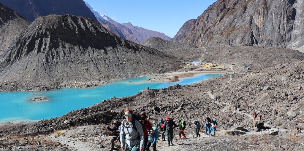
The road section from Narchyang to Humkhola covers around 20 kilometres, while a basic trekking trail extends for approximately 22 kilometres from Humkhola to the base camp. The route has been in operation since 2077 BS (2020/21). The trail provides trekkers with an opportunity to experience a diverse natural landscape while heading toward the base camp.
Trek Through Waterfalls, Mountains and Diverse Landscapes
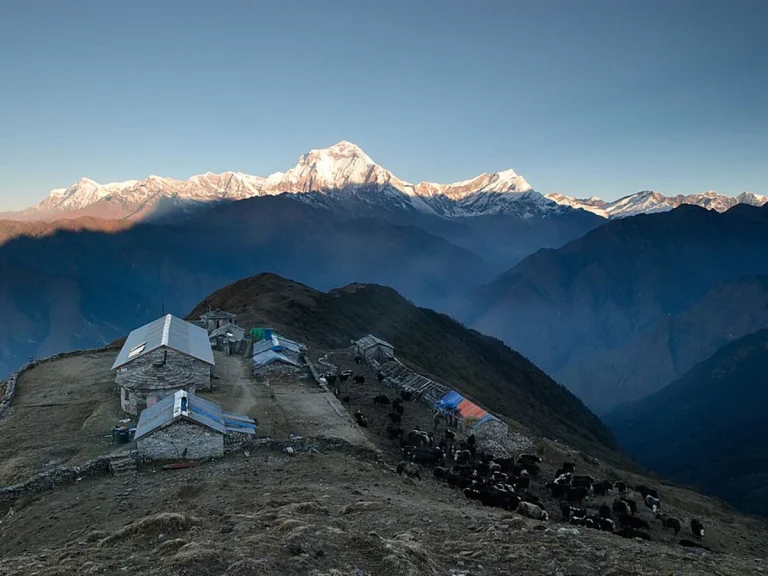
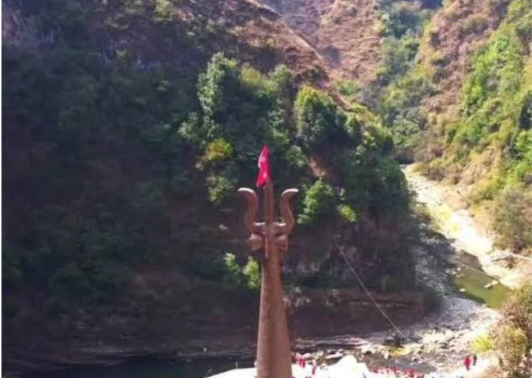
The Maurice Herzog Trail follows the Mistry Khola, which flows from the foothills of the Annapurna and Nilgiri mountain ranges. Trekkers can observe spectacular waterfalls, snow-covered mountain ranges, distinctive geographical formations, hills, rare vegetation and wildlife along the route.
The combination of natural scenery and relatively short trekking duration has contributed to the growing popularity of the trail among domestic and international visitors. Trekkers can generally reach Annapurna Base Camp in two days and return on the third day, making it an attractive option for visitors seeking a shorter Himalayan trekking experience.
Panchakunda Lake Adds to the Trail’s Attraction
Another major attraction of the destination is Panchakunda Lake, located below the Annapurna Base Camp at an elevation of around 4,050 metres. The natural glacial lake covers an area of approximately 107,684 square metres and has been formed by the accumulation of water from melting snow and ice from the Annapurna mountain range.
The base camp is situated on a relatively flat area at the foothills of Annapurna and Nilgiri. From the ridge above the base camp, visitors can enjoy views of both Panchakunda Lake and the surrounding Himalayan peaks. The opportunity to observe Annapurna Himal and Panchakunda Lake from the same destination is considered one of the key attractions of the Annapurna Base Camp area.

Smart Technology Expected to Improve Trekking Experience
The introduction of the QR-based information system is expected to strengthen visitor safety and improve access to reliable information along the trail. By bringing accommodation details, route information, altitude data, and emergency contacts together in a single digital platform, the initiative could make the trekking experience more convenient for visitors.
The District Police Office plans to continue updating the system, while wider placement of QR codes and social media promotion are expected to increase awareness among trekkers and other visitors.